Volumetric Stockpile Analysis Using Drone Surveys
At GIS Mappers UK, we deliver high-precision Volumetric Stockpile Analysis using cutting-edge drone technology combined with advanced photogrammetry and LiDAR processing. Our service is designed to support industries such as construction, mining, quarrying, aggregates, waste management, and infrastructure development, where accurate volume calculation is essential for operational efficiency, inventory control, billing, and regulatory compliance.
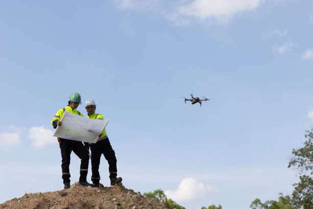
Unlike traditional methods involving manual surveys or total stations—which are time-consuming, labor-intensive, and often risky—our drone-based stockpile surveys provide a rapid, safe, and non-intrusive alternative. By flying over your site and capturing high-resolution geotagged aerial imagery, we generate 3D point clouds, Digital Surface Models (DSM), and orthomosaic maps that are processed to deliver centimeter-level volume measurements.
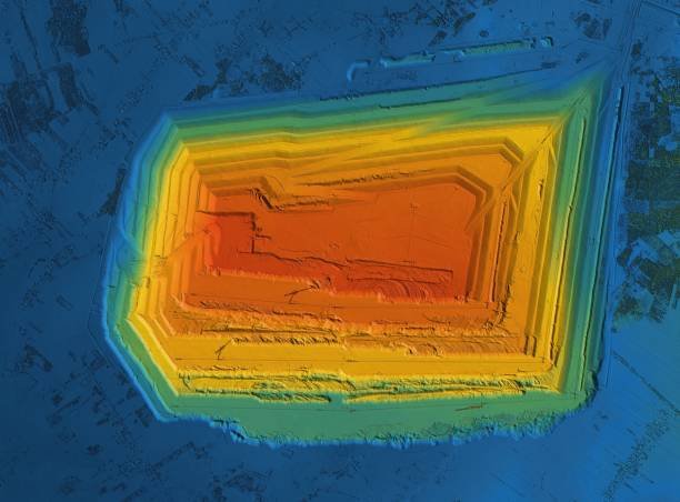
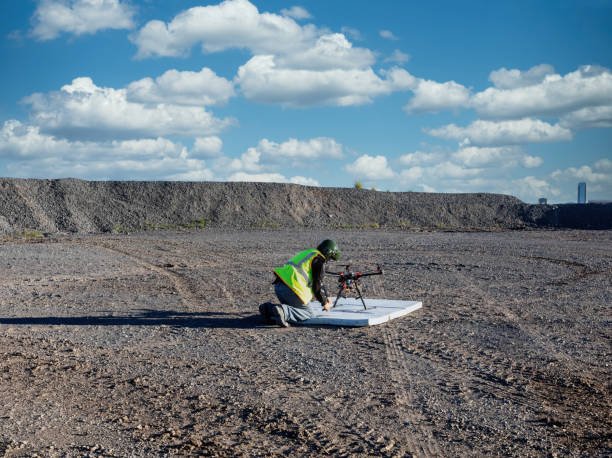
We incorporate RTK/PPK-enabled drones and AI-driven data processing to achieve exceptional accuracy even in complex terrain or active operational zones. This approach significantly reduces field time and eliminates the need for surveyors to climb unstable or hazardous piles, enhancing both data reliability and on-site safety.
Whether you manage a large construction site or multiple mining stockyards, our solution gives you a clear, visual, and quantitative insight into your material volumes. The final deliverables include interactive 3D maps, annotated volumetric reports, and GIS-integrated datasets that can be directly used for planning, auditing, and project execution.
Benefits of Drone-Based Volumetric Stockpile Analysis
- High Accuracy: Achieve centimeter-level volumetric accuracy using LiDAR or photogrammetry.
- Time-Saving: Collect complete data in a fraction of the time compared to manual or GPS rover methods.
- Cost-Effective: Reduce labor costs, rework, and site downtime through efficient remote sensing techniques.
- Safe Surveying: Conduct analysis without climbing unstable piles or entering hazardous zones.
- Real-Time Monitoring: Track material movement, site progress, and inventory levels at regular intervals.
- Visual Insights: Generate detailed orthomosaic maps and 3D models for better visualization and communication.
Applications of Volumetric Stockpile Drone Surveys
- Mining & Quarrying: Accurately calculate extracted and remaining materials for compliance and reporting.
- Construction: Monitor earthwork cut & fill volumes, material usage, and site preparation efficiency.
- Waste Management: Analyze landfill volumes, expansion areas, and track daily inputs.
- Inventory Management: Automate volume tracking of raw materials and reduce overstock or understock risks.
- Logistics & Ports: Evaluate stock levels of coal, gravel, or aggregates with geo-referenced data.
- Agriculture: Measure silos, grain stockpiles, and biomass storage for yield and logistics planning.
With our combination of RTK-enabled drones, post-processing software, and GIS expertise, GIS Mappers UK ensures that every volumetric analysis is detailed, consistent, and actionable.