Drone-Based Services
Explore Our Aerial Capabilities
We offer cutting-edge drone solutions for mapping, surveying, inspection, and real-time monitoring across multiple industries.
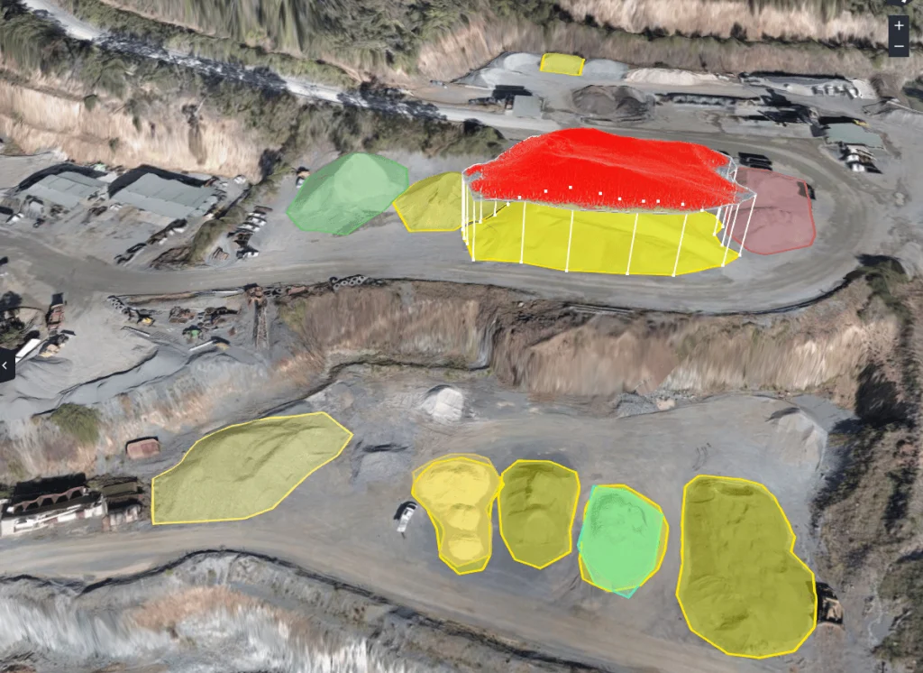
Volumetric Stockpile Analysis
Measure material stockpiles with drone-enabled volumetric surveys for accurate inventory control.
Read More
3D Terrain Reconstruction
Create digital elevation models (DEM) and 3D terrain surfaces using drone photogrammetry.
Read More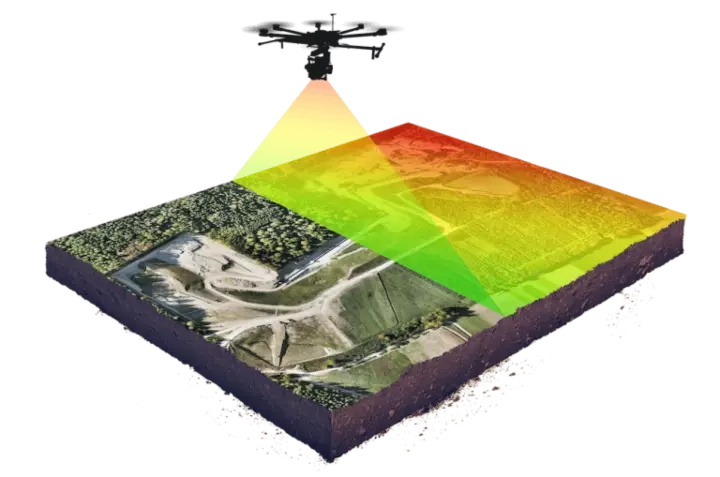
LiDAR Mapping Solutions
High-resolution LiDAR scans for precise topography and vegetation canopy mapping.
Read More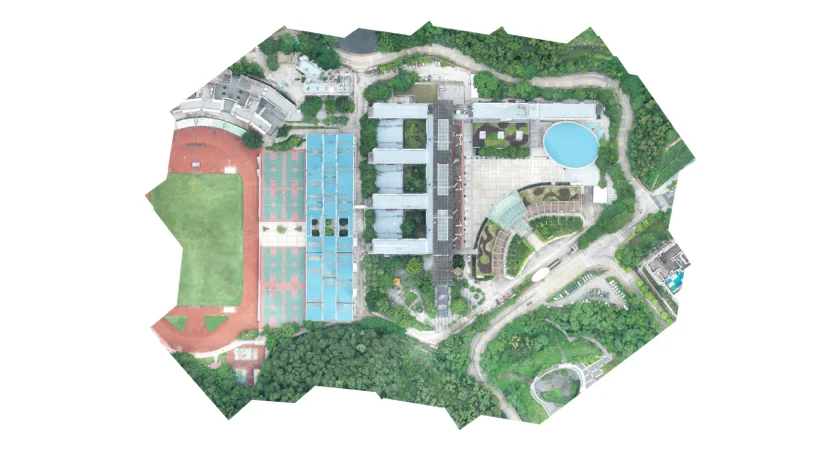
Orthophoto & Mosaic Mapping
Generate orthorectified aerial imagery for accurate site planning and documentation.
Read More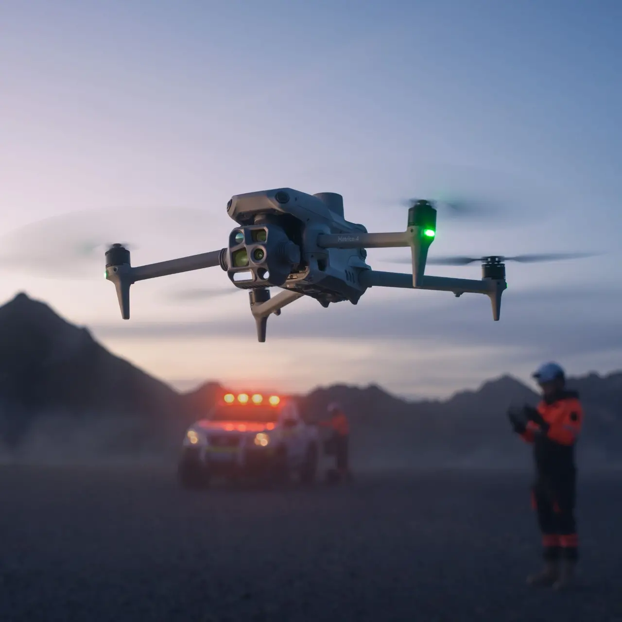
RTK Precision Surveys
RTK-enabled drone flights provide centimeter-level accuracy for cadastral and civil surveys.
Read More
Construction Progress Monitoring
Use drone visuals and data overlays to monitor, document, and report site development progress.
Read More