Accurate RTK Drone Surveys for Engineering-Grade Mapping
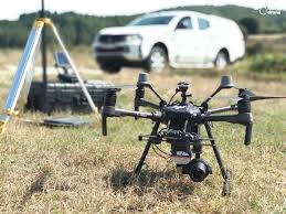
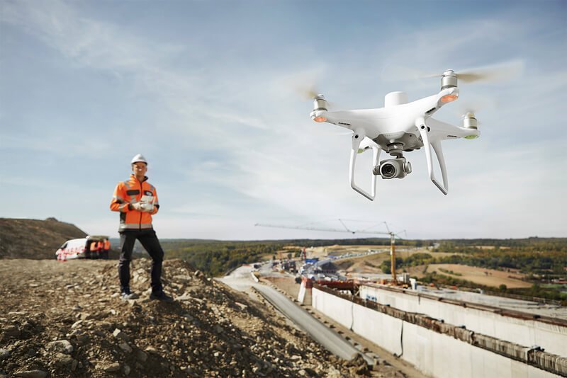
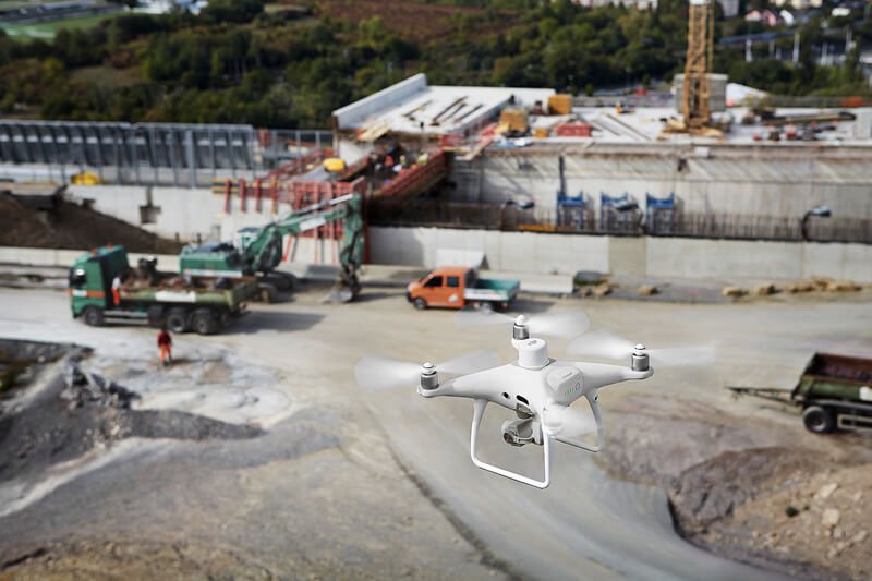
GIS Mappers offers highly accurate RTK (Real-Time Kinematic) drone surveying services to deliver centimeter-level precision for infrastructure, construction, and mapping projects across Saudi Arabia.
By integrating advanced RTK-enabled UAVs with GNSS base stations, we achieve ±2–3 cm horizontal and vertical accuracy, eliminating the need for extensive ground control points (GCPs) while accelerating the survey process.
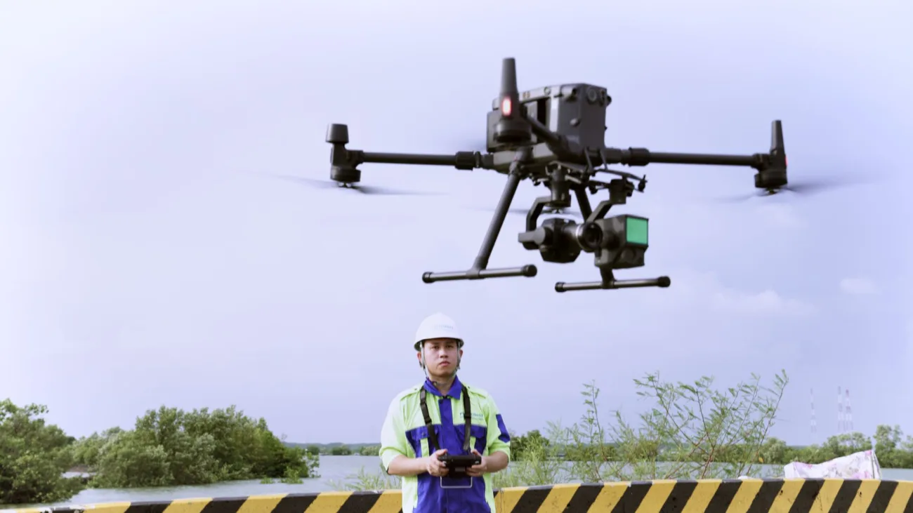
Our RTK drone solutions are ideal for detailed topographic surveys, volumetric analysis, construction site monitoring, and utility corridor mapping with fast data turnaround and consistent reliability.
We support both Real-Time RTK and Post-Processed Kinematic (PPK) workflows, ensuring flexibility based on signal availability and project scale.
Key Features of RTK Drone Surveys
- Centimeter-Level Accuracy: Suitable for engineering and cadastral applications.
- Faster Data Collection: Minimal or no ground control required.
- Reduced Field Time: Cover large areas in less time with fewer resources.
- Seamless Integration: RTK data compatible with CAD, GIS, and BIM platforms.
- Real-Time GNSS Corrections: Live coordinate adjustments via base station or NTRIP.
- High-Precision Orthomosaics & 3D Models: Processed with robust photogrammetry tools.
Applications of RTK Precision Surveys
- Topographic Mapping: Terrain modeling for design and construction.
- Road & Railway Planning: Corridor surveys with accurate profiles and alignment.
- Pipeline & Utility Surveys: Route optimization and land acquisition planning.
- Earthwork & Volumetric Analysis: Measure cut & fill volumes for project control.
- Construction Site Monitoring: Progress tracking and digital twin updates.
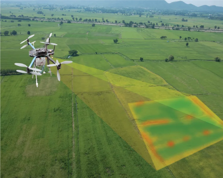
- Precision Agriculture: High-resolution mapping for field variability and drainage.
With GIS Mappers, you get access to cutting-edge RTK drone survey technology, survey-grade precision, and professional deliverables tailored to your project needs across Saudi Arabia and the GCC region.