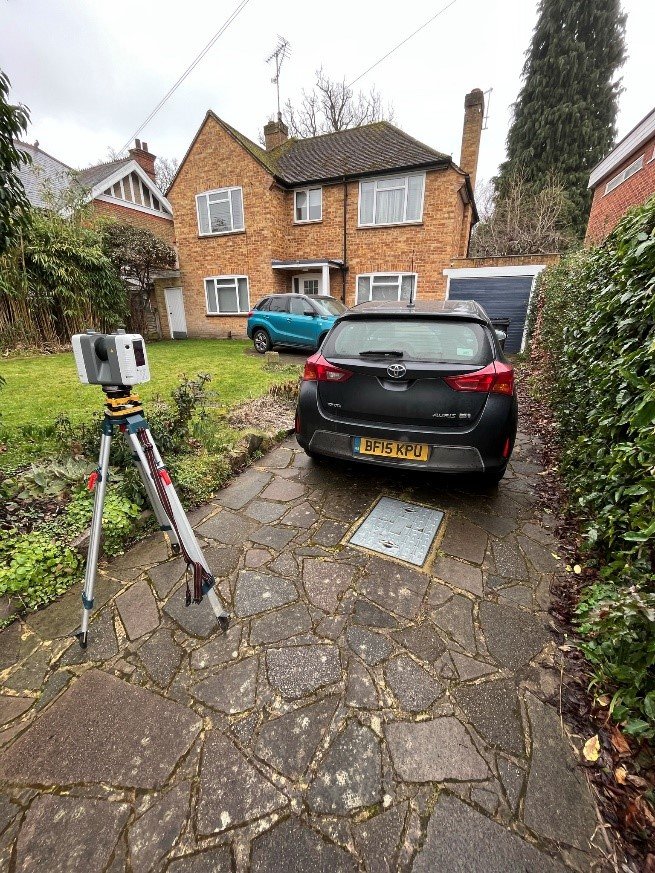
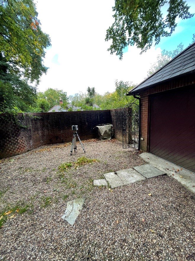
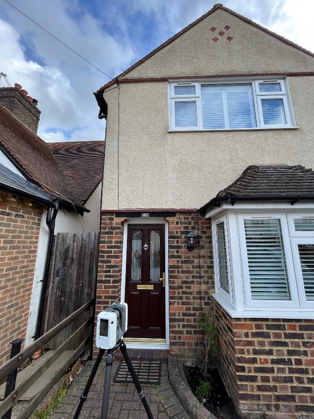
Our team provided detailed site measurements and mapping to support planning and development.
High-resolution aerial and ground mapping conducted for property development evaluation.
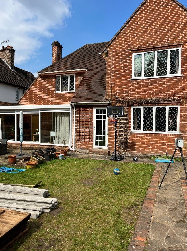
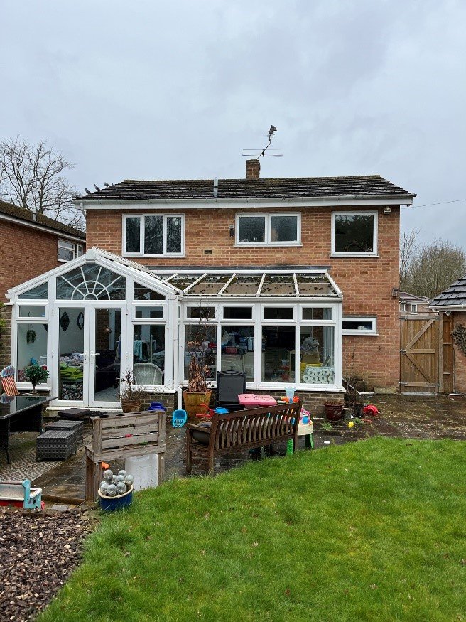
Delivered detailed 2D and 3D floor plans for renovation and architectural design work.
Integrated surface and subsurface survey to assist with utilities and drainage layout.
Produced accurate DSM and orthophotos for terrain modeling and property analysis.
Captured terrain variations for residential site development and flood study modeling.
Detailed site measurements captured with GNSS and drone for public space design.
Delivered topographic boundary detail to assist with planning submissions and fencing.
Drone-enabled elevation mapping for grading, drainage, and site contour modeling.
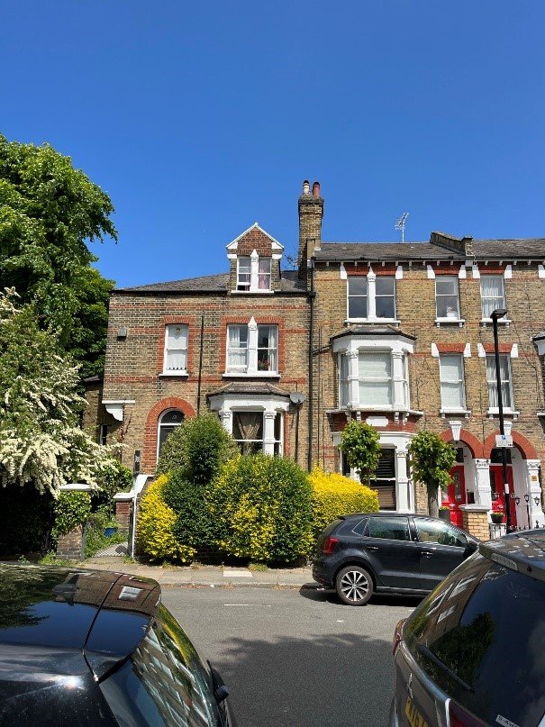
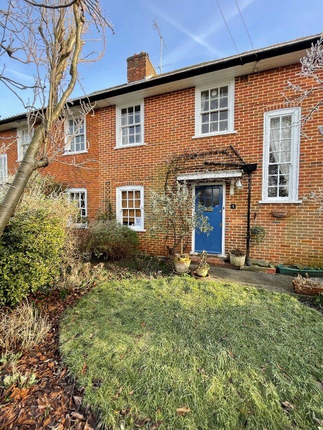
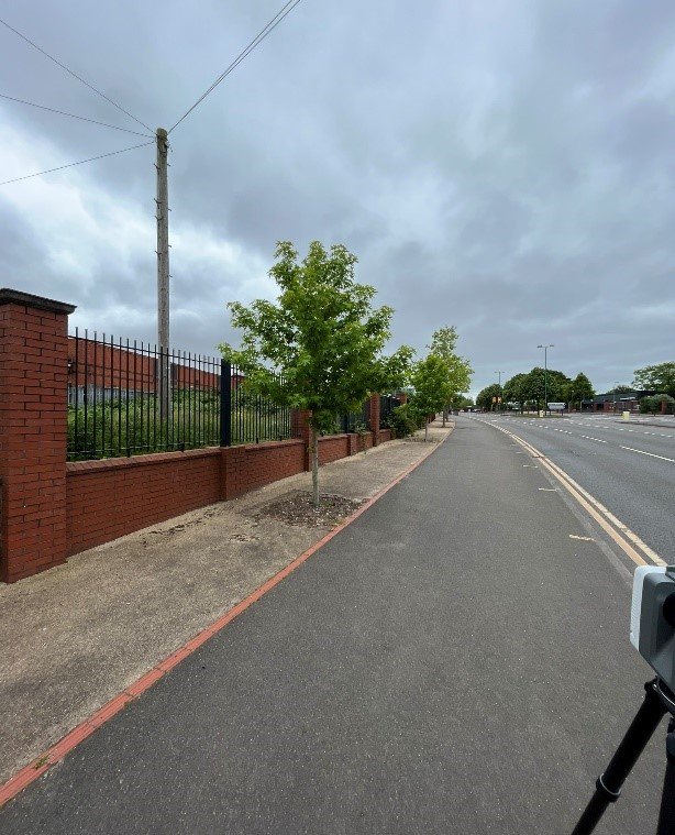
Topographic site mapping conducted on Stratford Road to aid planning applications and future development feasibility.
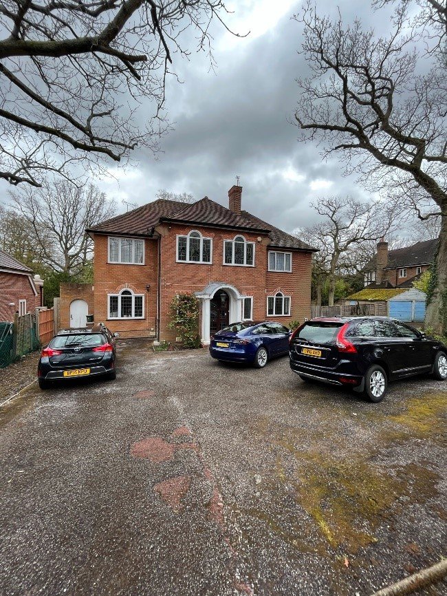
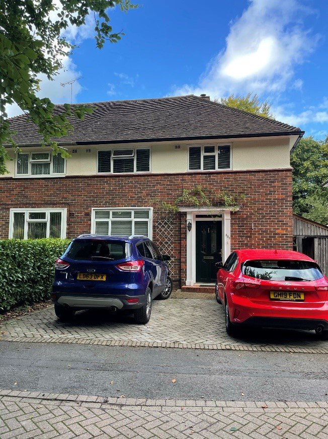
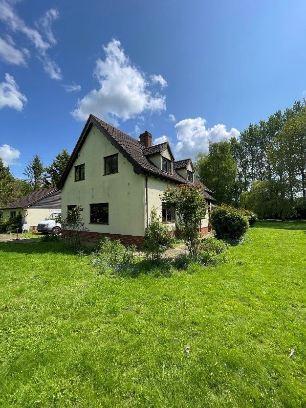
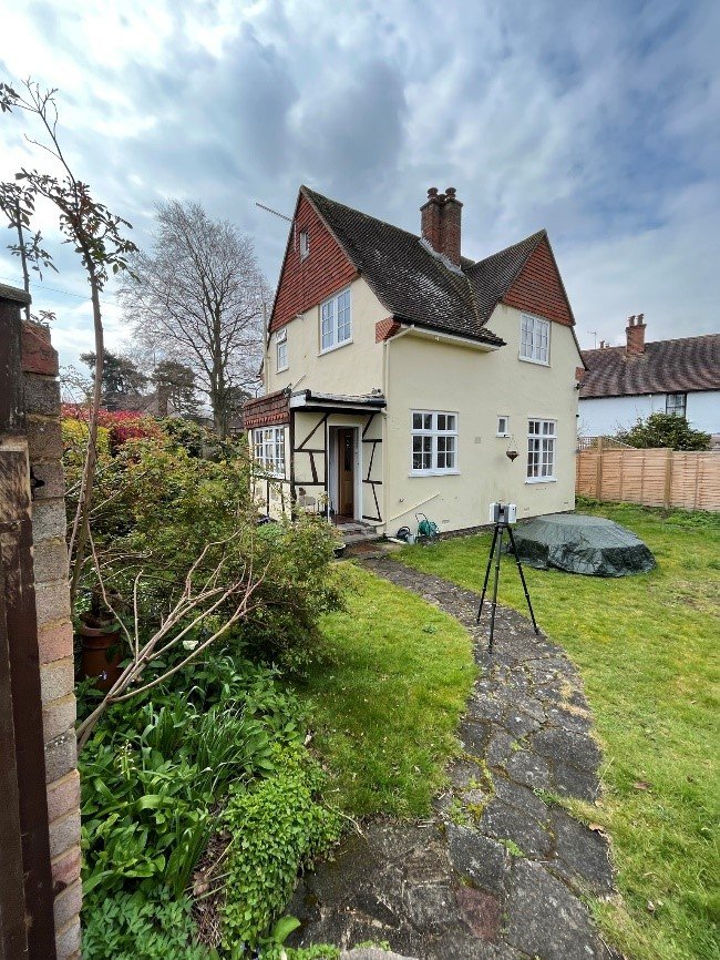
Mill Lane project involved detailed topographic and elevation data collection for a residential property extension design.
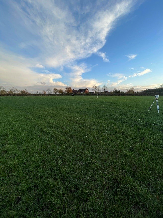
Surveyed New Plot-2 area using GNSS and drone data to produce base plans for construction and drainage proposals.
Comprehensive topo survey at Northfield Birmingham included features, boundaries, and surface levels for utility coordination.
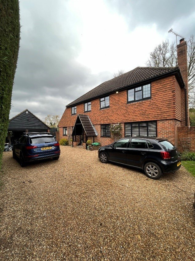
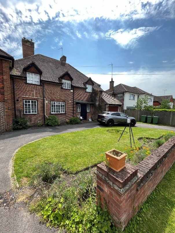
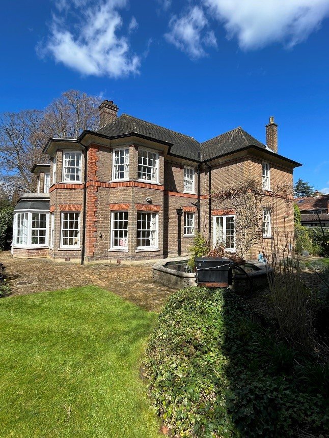
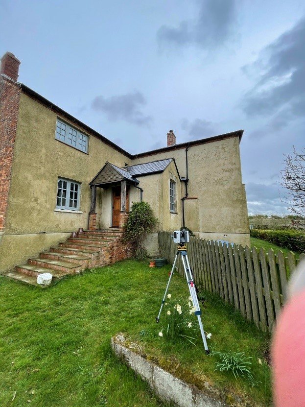
Hill Farm House Charndon required terrain and level mapping to evaluate site slope and support building renovation plans.
Prace CI project focused on slope profiling and floodplain mapping using drone elevation data and ground control points.
Guernsey Farm DR was surveyed for proposed landscaping and fencing design, incorporating boundary verification and contours.
The Grove site required high-detail topographic plans with tree positions, access points, and contours for master planning.
Stonehill Road topographic survey enabled grading evaluation, drainage modeling, and structural platform design assistance.
Topographic mapping at Westfields St Albans for new development application included elevation grids and site feature mapping.
GU22 9BQ-1 project required existing ground levels and utilities mapping to support site clearance and architectural planning.