Who We Are
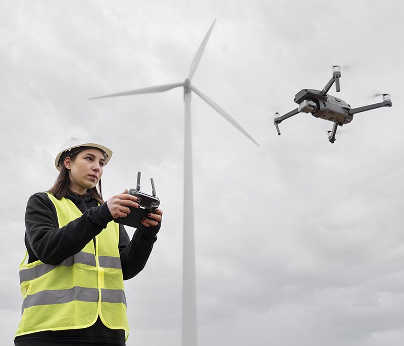
GISMappers UK is a specialist drone surveying and geospatial data solutions provider offering high-resolution aerial mapping, inspections, and 3D modeling services across the United Kingdom. Our team consists of certified UAV pilots, GIS professionals, and data analysts who work together to deliver precise, actionable insights for a wide range of industries, including construction, infrastructure, energy, environmental monitoring, and asset management.
With cutting-edge drones equipped with 4K cameras, LiDAR sensors, and RTK GPS technology, we capture accurate spatial data to support engineering design, project planning, risk assessments, and compliance reporting. Whether you need volumetric stockpile analysis, site progression monitoring, topographic surveys, or digital twin generation, we have the tools and experience to support your goals.
How It Works

Our Vision, Mission & Values
Vision
To become the UK's most trusted drone surveying and geospatial data solutions partner.
Mission
To deliver cutting-edge aerial data, mapping, and insights that empower infrastructure, environment, and construction industries through innovation and accuracy.
Core Values
- Precision & Accuracy
- Safety & Compliance First
- Innovation & Adaptability
- Customer-Centric Approach
- Integrity & Reliability