LiDAR Mapping Solutions Using Drone Surveys
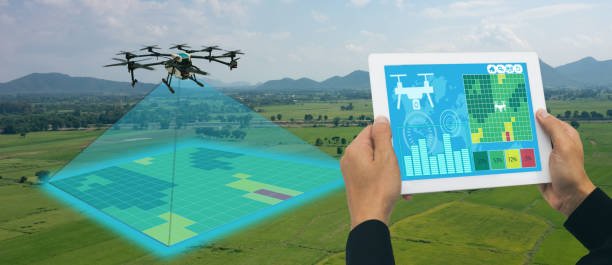
GIS Mappers UK delivers precise and scalable LiDAR mapping services using drone surveys for engineering, infrastructure, environmental, and topographic applications. Our drone-mounted LiDAR systems capture dense point cloud data with exceptional accuracy, making them ideal for mapping complex terrain, vegetation, and structures.
With advanced UAV LiDAR sensors and RTK/PPK positioning, we generate georeferenced 3D models and digital elevation models (DEMs) suitable for high-precision analysis and planning. LiDAR is especially effective in areas with heavy vegetation or inaccessible terrain where traditional photogrammetry fails.
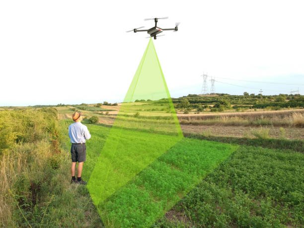
Whether it’s for corridor mapping, floodplain analysis, utility inspections, or forestry inventory, our drone LiDAR solutions offer speed, safety, and unmatched accuracy.
Deliverables include 3D point clouds, DEM/DTM, topographic maps, and CAD-ready models tailored to your engineering or environmental project requirements.

Our LiDAR Drone Mapping Capabilities Include
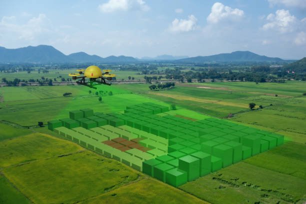
- High-Density Point Clouds: Up to 1.2 million points per second for detailed 3D modeling
- Vegetation Penetration: Accurately map ground elevation under tree canopy
- Digital Terrain & Surface Models (DTM/DSM): For hydrology, cut/fill, and planning
- Topographic Surveys: Contour mapping with centimeter-level precision
- Powerline and Corridor Mapping: For utilities, highways, and pipelines
- Forestry and Environmental Monitoring: Canopy structure, biomass, and erosion studies
Applications
- Floodplain & Watershed Management
- Railway & Roadway Engineering Surveys
- Powerline, Telecom & Pipeline Corridor Mapping
- Urban Planning & Land Development
- Forest Biomass and Canopy Analysis
- Mining & Quarry Volume Calculations
- Coastal Zone and Wetland Monitoring
- Disaster Risk & Erosion Assessment

Whether you need to map infrastructure, ecosystems, or urban environments — GIS Mappers delivers precise, efficient, and intelligent LiDAR drone survey solutions tailored to your needs.