High-Resolution 3D Terrain Reconstruction Using Drone Surveys
At GIS Mappers UK, we specialize in 3D terrain reconstruction using advanced drone mapping technologies including LiDAR, photogrammetry, and RTK-enabled UAVs. This service enables accurate modeling of natural and man-made landscapes to support engineering design, infrastructure planning, flood risk assessment, and environmental monitoring.
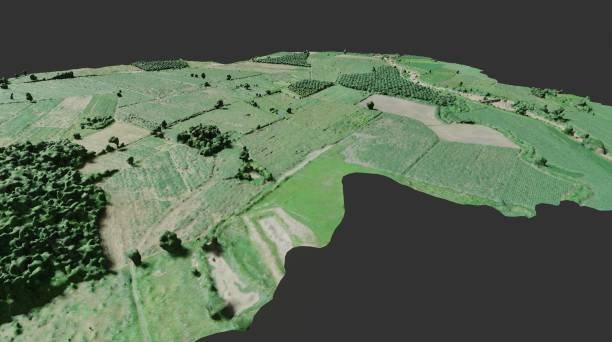
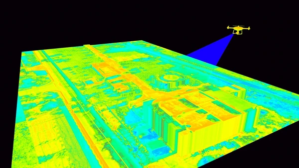
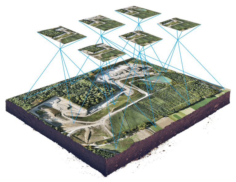
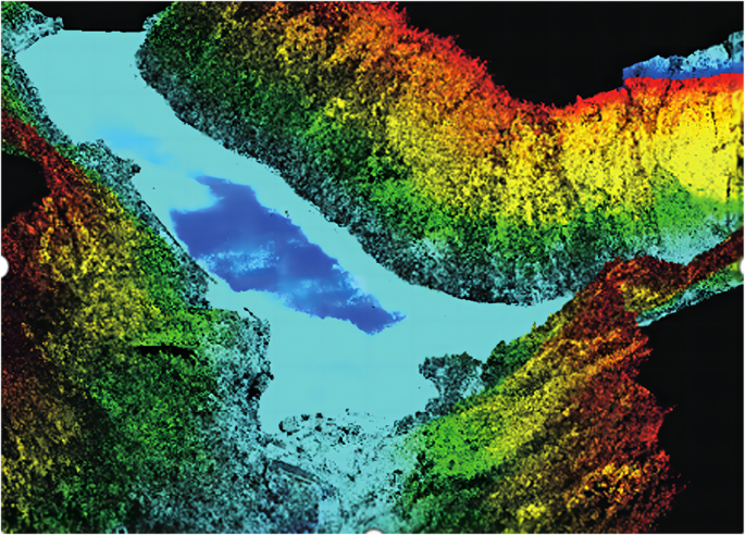
Our drones capture high-resolution georeferenced imagery and point cloud data to produce detailed Digital Elevation Models (DEMs), Digital Surface Models (DSMs), and 3D textured meshes of complex terrains. Compared to traditional survey methods, this approach delivers faster results, enhanced spatial accuracy, and greater coverage with minimal ground access requirements.
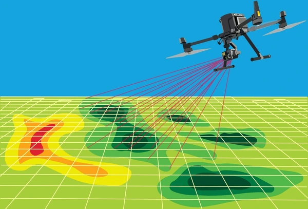
We integrate AI-powered post-processing with GIS software to reconstruct terrain with centimeter-level precision. Our methodology is ideal for areas that are hazardous, inaccessible, or undergoing rapid topographic change.
Final deliverables include 3D terrain models, elevation contour maps, slope & drainage analyses, and GIS-compatible outputs ready for engineering and environmental applications.
Benefits of 3D Terrain Reconstruction via Drone Survey
- Highly Accurate Elevation Mapping: Achieve precise topographic data using photogrammetry or LiDAR.
- Faster Project Timelines: Cover large or complex terrains in significantly less time than traditional surveys.
- Cost-Effective: Reduce survey costs by minimizing labor, equipment, and downtime.
- Safe Data Acquisition: Eliminate the need for surveyors to enter dangerous or unstable areas.
- 3D Visualization: Visualize landform features and surface morphology for planning and design.
- Seamless GIS Integration: Export data into CAD/GIS systems for seamless analysis and modeling.
Applications of 3D Terrain Reconstruction
- Infrastructure Design: Generate accurate base maps for roads, pipelines, bridges, and urban development.
- Flood Risk Mapping: Analyze drainage patterns and watershed zones for hydrological modeling.
- Mining & Quarrying: Model extraction zones and surrounding terrain for planning and monitoring.
- Environmental Monitoring: Observe terrain changes due to erosion, landslides, or ecological restoration.
- Forestry & Agriculture: Assess terrain for planting, irrigation, and biomass estimation.
- Heritage & Archaeology: Digitally reconstruct landscapes for site preservation and documentation.
With RTK/PPK drone technology and advanced GIS modeling, GIS Mappers UK provides accurate and scalable 3D terrain solutions tailored for your project’s needs.