Expert Drone Surveying Solutions Across the UK
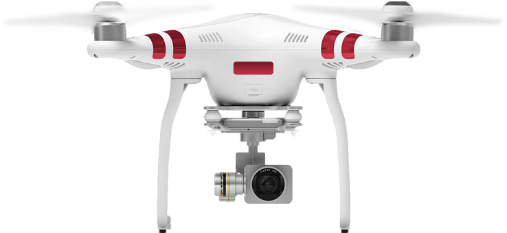
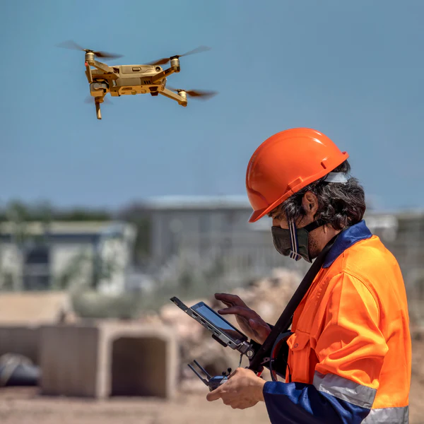
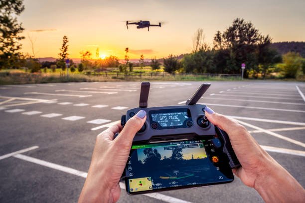
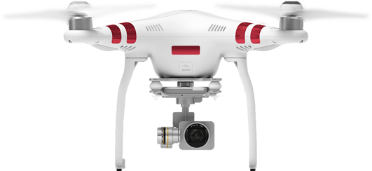
Gismappers UK specialises in cutting-edge drone surveying services tailored for construction, infrastructure, land development, and environmental applications. Powered by 4K HD imagery and precision aerial mapping, we deliver actionable geospatial data for smarter decision-making—faster and more cost-effective than traditional methods. From topographic surveys to roof inspections, we support projects across England, Scotland, Wales, and Northern Ireland with full CAA compliance.
- CAA-Certified & Fully Insured
- High-Accuracy 4K Aerial Mapping
- Nationwide Drone Survey Coverage
Explore Our Main Services
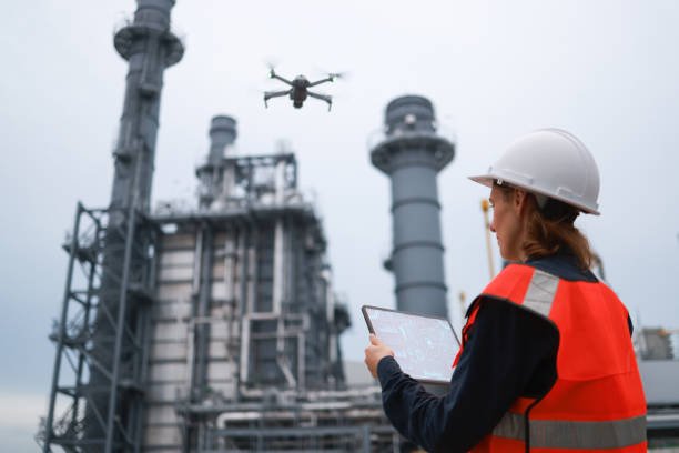
We deliver precise drone-based geospatial services for surveying, inspection, modeling, and mapping to support infrastructure, construction, and environmental projects.
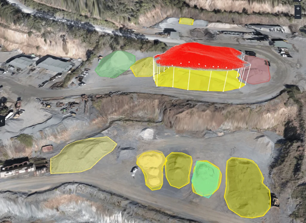
Volumetric Stockpile Analysis
Measure material stockpiles with drone-enabled volumetric surveys for accurate inventory control.
Read More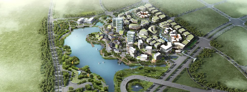
3D Terrain Reconstruction
Create digital elevation models (DEM) and 3D terrain surfaces using drone photogrammetry.
Read More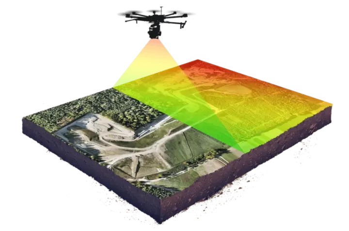
LiDAR Mapping Solutions
High-resolution LiDAR scans for precise topography and vegetation canopy mapping.
Read More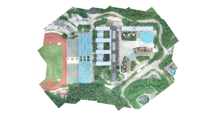
Orthophoto & Mosaic Mapping
Generate orthorectified aerial imagery for accurate site planning and documentation.
Read More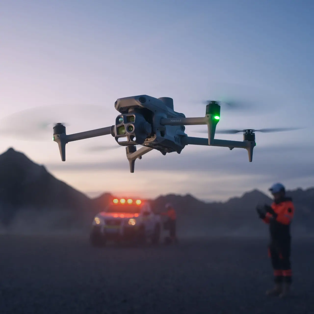
RTK Precision Surveys
RTK-enabled drone flights provide centimeter-level accuracy for cadastral and civil surveys.
Read More
Construction Progress Monitoring
Use drone visuals and data overlays to monitor, document, and report site development progress.
Read MoreExplore Our Drone Survey Projects
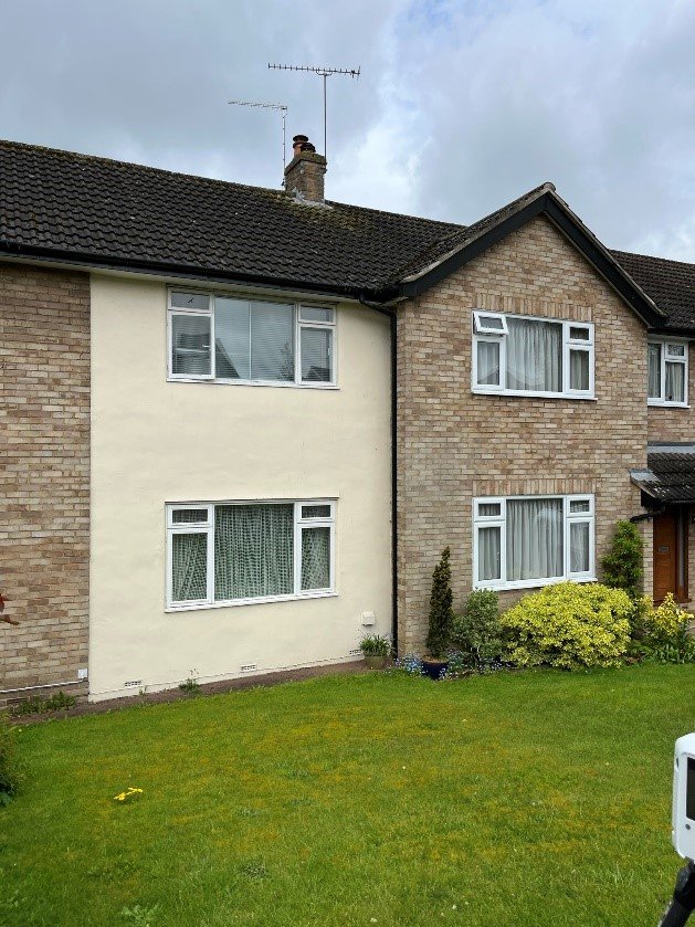
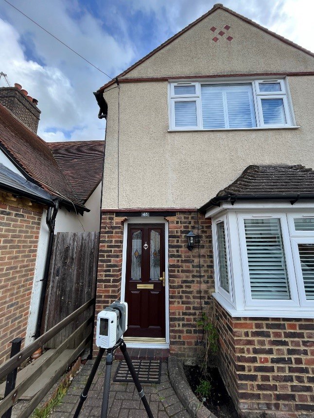
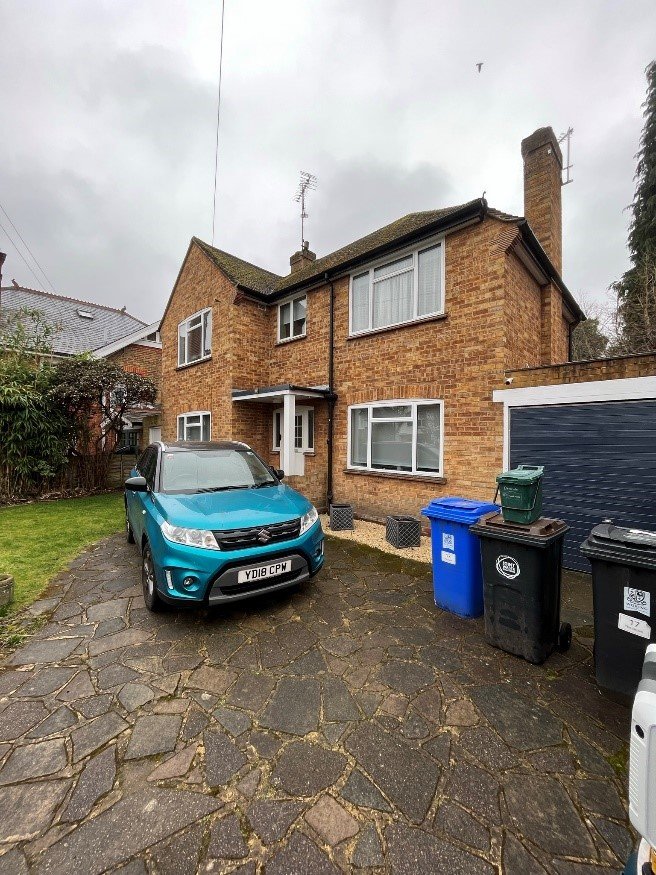
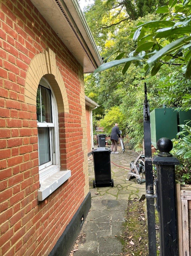
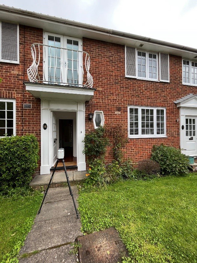
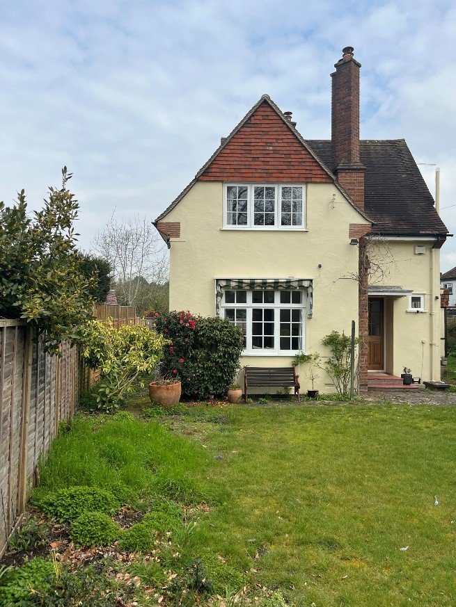
Take a closer look at our real-world drone survey applications across various industries. From terrain mapping and infrastructure inspections to volumetric stockpile analysis—our aerial solutions drive accuracy and efficiency in every project.
Drone Surveying Insights & Industry News
Explore the latest trends, case studies, and innovations in drone-based surveying, 3D modeling, LiDAR mapping, and geospatial intelligence—curated by the GIS Mappers team.

Drone Mapping in Construction: Boosting Accuracy and Speed
Discover how GIS Mappers leverages drone technology to deliver high-precision mapping solutions for large-scale construction projects across Saudi Arabia.
LiDAR Drone Surveys: Revolutionizing Topographic Mapping in Saudi Arabia
LiDAR-equipped drones are changing the game in terrain analysis. Learn how our aerial LiDAR solutions support infrastructure, mining, and flood risk assessments.
From Drone Photogrammetry to 3D BIM: A Workflow for Smart Infrastructure
How drone photogrammetry data is transformed into high-resolution 3D BIM models—enhancing planning, monitoring, and asset management for infrastructure projects.
What Our Clients Say About Drone Surveys
GIS Mappers' drone survey helped us monitor stockpiles with high accuracy and reduced manpower. The 3D models and volumetric analysis were delivered faster than expected.
We were impressed by the precision of GIS Mappers' drone inspections. The thermal imaging helped us detect asset overheating early, preventing major breakdowns.
Topographic mapping via drone saved us weeks in data collection. GIS Mappers delivered detailed RTK-corrected elevation models ideal for our infrastructure planning.
From LiDAR point clouds to CAD overlays, GIS Mappers transformed our planning process. Their drone data is not only accurate but also easy to integrate into our GIS systems.